Creatures
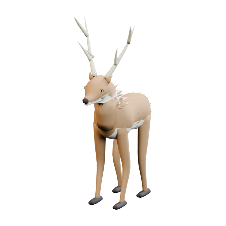
Briar Stag
A creature of the living world.
Animal creature with a threat rating of 2 out of 4.
- Nature
- Animal
- Threat rating
- 2 / 4
- Movement
- Ground movement
Characteristics
Briar Stag is classified as an animal. Its current threat rating is 2 on a scale of four. It moves along the ground.
Releasing the corruption
Corrupted creatures can be purified after they have been neutralised. Elio’s first lesson with the fox shows that purification is an act of rescue.
About this entry
This description follows the current creature data. Threat ratings may change during development; detailed species histories have not yet been established.
In the world
Where to find Briar Stag
On Bellacosta, creatures roam on suitable clear land outside the village ward. The broad circle shows the configured population search area; water, coasts and the protected village are excluded. On Valdoria, eligible forest areas across the island provide habitat, away from villages, farms, roads and rivers. Dark Realm encounters depend on expedition and story progress.
Bellacosta
Light Realm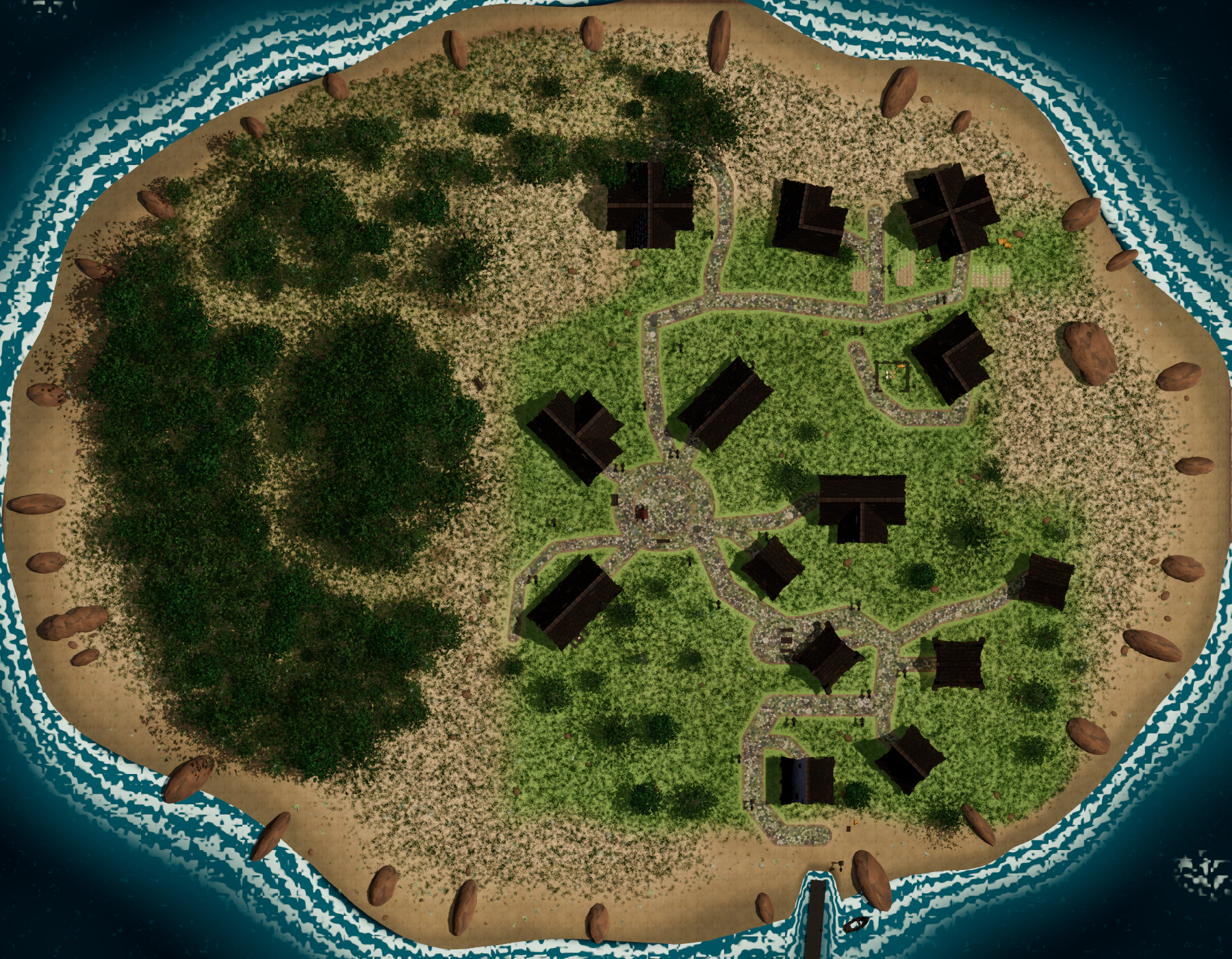 N ↑
N ↑Select a marker or a location below. Rings indicate habitat areas; outlined maps indicate a regional distribution.
Fixed coordinates use island-local X, Z metres. North is at the top. Open full map ↗
Valdoria
Light Realm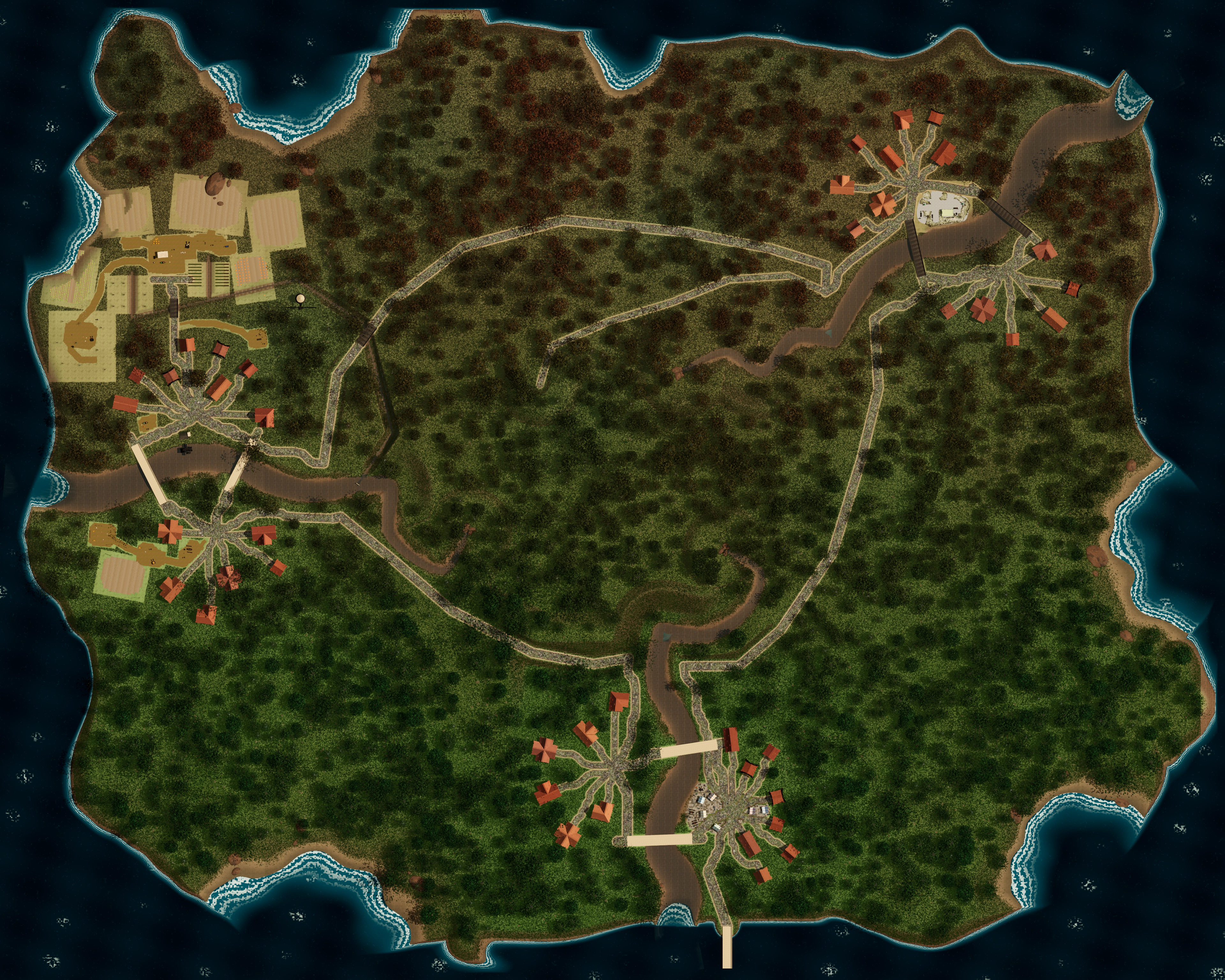 N ↑
N ↑Select a marker or a location below. Rings indicate habitat areas; outlined maps indicate a regional distribution.
Fixed coordinates use island-local X, Z metres. North is at the top. Open full map ↗
Bellacosta
Dark RealmN ↑Select a marker or a location below. Rings indicate habitat areas; outlined maps indicate a regional distribution.
Fixed coordinates use island-local X, Z metres. North is at the top. Open full map ↗
Reveal story encounter locations
Bellacosta
Dark RealmN ↑Select a marker or a location below. Rings indicate habitat areas; outlined maps indicate a regional distribution.
Fixed coordinates use island-local X, Z metres. North is at the top. Open full map ↗
Archive edition · 12 September 2026 · Based on the current development version.